
ST. ANTHONY GUIDE
Map & staging
Orient the whole trip, from the developed Egin Lakes base to the western faces, then carry the official closure map offline.
Carry the official map too
This interactive map connects staging, camp, riding context, town, and support. It is not a legal boundary map and does not replace BLM closure orders. Download or screenshot the official brochure before cell coverage thins.
Dune Guide Adventures
Preview both St. Anthony basecamps.
Start at Egin Lakes or Red Road, explore the published campground scenes, and practice Camp Compass before riding the wider dunes.
St. Anthony basecamps available now. The wider dune Adventure is still being built.
Explore St. Anthony in the free Arcade →The virtual world is for familiarization and fun. Current BLM maps, seasonal closures, and posted signs control real access.

Free safety tool Works beyond the bars
Mark camp.
Find your way back.
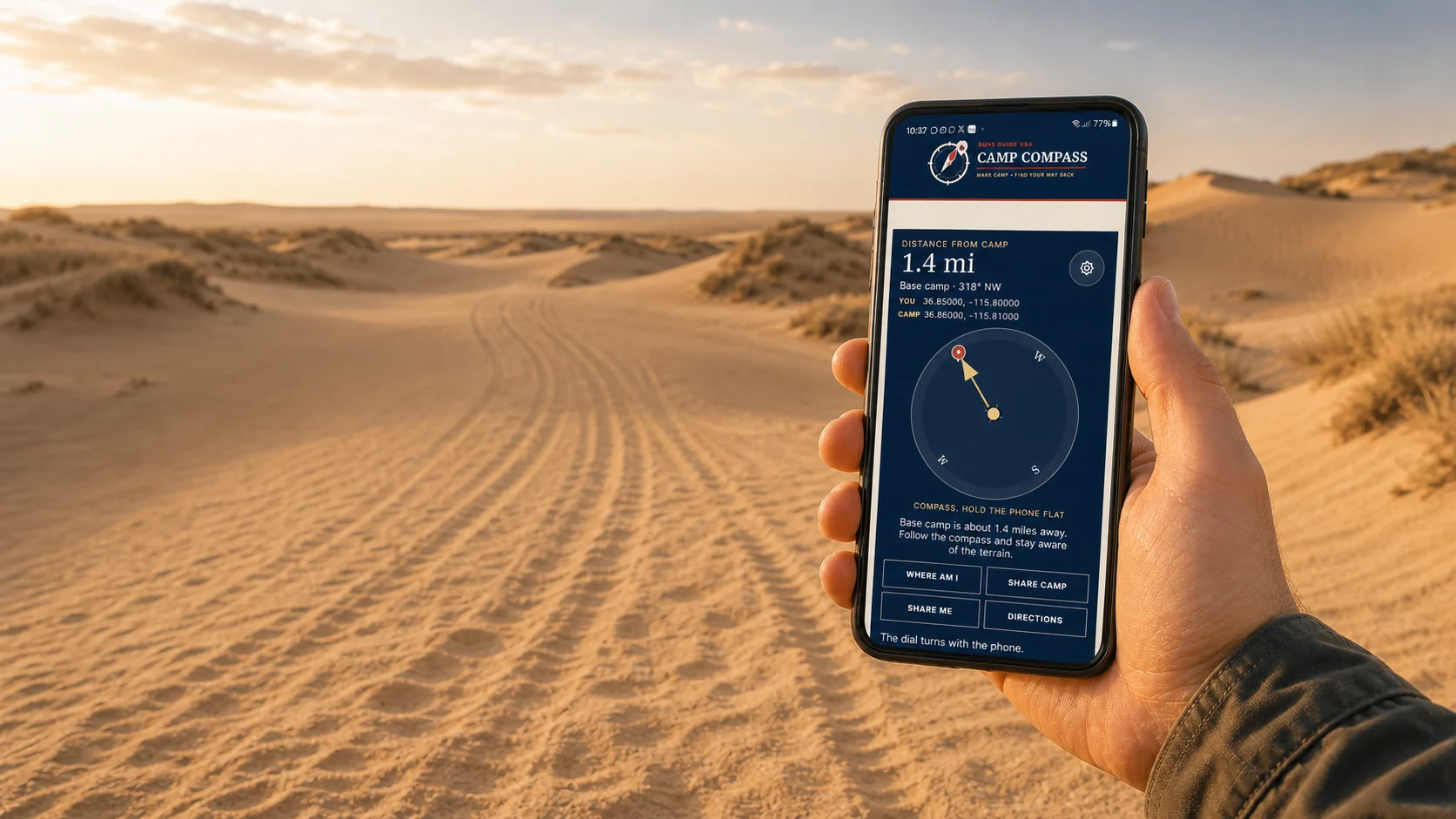
Save camp before you ride. Camp Compass uses GPS satellites to show the distance and direction back, even where cell service disappears. Your marked camp stays on this phone unless you choose to share it.
- Works offlineGPS does not need a cell tower
- One compassUse it at every Dune Guide destination
- Share your locationSend coordinates when help can reach you
Set it up before the trip. Installation needs a signal.