Know reciprocity
Idaho resident and nonresident requirements depend on where the machine is registered. Verify before towing.
 Plan a trip ↗
EASTERN IDAHO · SNAKE RIVER PLAIN
10,600 acres of shifting sand, 400-foot western bowls, and Egin Lakes at the eastern gateway. One independent guide for the ride, the camp, the closures, and everything around them.
Weather is live at the dunes. Seasonal access is computed from the BLM's published wildlife closures, with official alerts always taking priority.
TWO USEFUL LOCAL LINKS
Pair the official land manager with the local community calendar before you lock in the rest of your trip.
Community gatherings, city celebrations, rodeo-season dates, and reasons to stay beyond the dunes.
Provided by the St. Anthony Chamber of CommerceOpen the event calendar →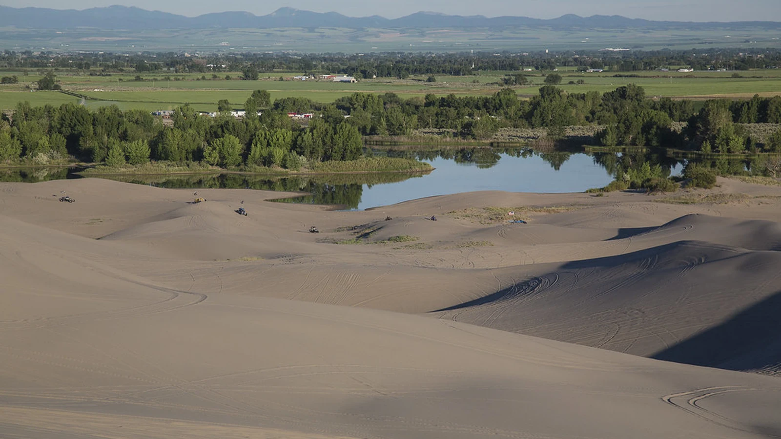
Confirm seasonal closures, maps, campground information, posted notices, and current land-manager guidance.
Bureau of Land Management • Upper Snake Field OfficeOpen the official dunes page →START HERE
The St. Anthony Sand Dunes rise from the volcanic Snake River Plain like a pale mountain range. The east side opens around Egin Lakes; the west side grows into the bowls and faces riders travel across the country to experience.
The first planning decision is not simply where to ride. It is which side matches your crew, where your trailer will fit, whether a wildlife closure affects the route, and how far your fuel and daylight must carry you.
This guide puts those decisions together with exact starting points, real photographs, live weather, local services, and a trip planner built around St. Anthony rather than a generic desert.
Idaho OHV requirements, nonresident certificates, safety flags, youth rules, and the official source for each.
Open the rules guide → 02 · EAST TO WESTSmaller eastern dunes, Egin Lakes orientation, and the western bowls that demand more machine and more judgment.
Open the riding guide → 03 · BUILD THE BASEForty-eight BLM campsites, reserve-or-arrive choices, day use, trailer fit, and nearby private alternatives.
Open the camping guide → 04 · FLY IN AND RIDELocal machines, recovery help, parts, fuel, and the questions that belong in the booking call.
Open the rental guide → 05 · 400-FOOT COUNTRYBlind crests, big bowls, group protocol, emergency coordinates, and satellite SOS before you need it.
Open the fieldbook → 06 · KNOW YOUR SIDEEgin Lakes, Red Road, Nine Mile, named bowls, closure lines, and the route back to camp.
Open the interactive map →EXPLORE THE FULL GUIDE
Start with the trip planner, then match the terrain, campground, closure calendar, and support stops to the crew you are actually bringing.
Tell us your dates, experience, machine, camp style, and interests. Get a day-by-day plan with the right riding side, meals, fuel, official checks, and realistic drive times.
BEFORE YOU TOW
ON THE SAND
CHECK CONDITIONS
THE WHOLE TRIP
BEFORE YOU GO
Cell coverage thins west of Egin Lakes, wind can erase tracks, and seasonal wildlife closures change which side is open. Put the map, fuel threshold, and backup plan in place before the first machine moves.
Open the pre-trip checklist →Idaho resident and nonresident requirements depend on where the machine is registered. Verify before towing.
The big dunes and surrounding winter range generally reopen on different spring dates.
Air down within your equipment limits and use a conservative first lap before committing west.
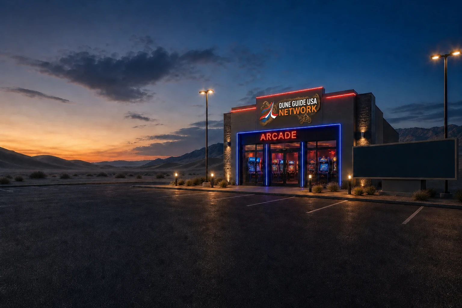
Free Dune Guide USA Arcade
Visit the virtual Egin Lakes and Red Road basecamps in the free Dune Guide USA Arcade. Explore the published campground scenes, then try the other available Adventures.
St. Anthony basecamps available now. The wider dune Adventure is still being built.
Enter the free Arcade →Play in your browser. Virtual Adventures are for fun, not a substitute for current maps or riding rules.
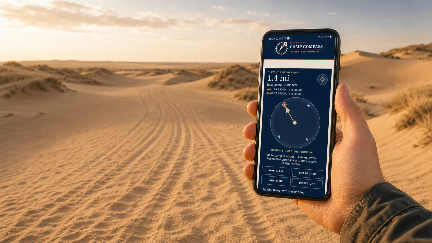
Free safety tool Works beyond the bars
Save camp before you ride. Camp Compass uses GPS satellites to show the distance and direction back, even where cell service disappears. Your marked camp stays on this phone unless you choose to share it.
Set it up before the trip. Installation needs a signal.